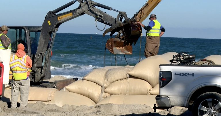
The one‑lane detour that now runs along N.C. 12 near the Pea Island National Wildlife Refuge Visitor Center has become the daily reality for residents and businesses on Hatteras Island. Two coastal storms this fall destroyed and rebuilt the road within seven weeks, leaving sandbag walls and a precarious route for the island’s lifeline.
Public meetings launch the “SAND” plan
Beginning this week, the North Carolina Department of Transportation (NCDOT) is hosting a series of public meetings for its Solving Access for N.C. 12 in Dare County (SAND) plan. The agency has been working with federal and state partners on the plan since January, and the meetings are intended to surface both short‑term fixes and a long‑term vision for the most vulnerable stretch of the highway – the segment between the Marc Basnight Bridge over Oregon Inlet and the Jug Handle Bridge in Rodanthe.
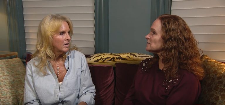
“That’s a great idea. I like something different because they’ve been doing the same thing over and over again, and it’s not working clearly,” said Kenna Lidonni, co‑owner of Oceanas Bistro in Avon, after learning that NCDOT has proposed relocating roughly 3,000 feet of N.C. 12 about 180 feet west of its current alignment near the Pea Island Visitor Center.
Business owners feel the strain
Local merchants have already felt the economic impact of the closures. October, a crucial shoulder‑season month, saw a loss of about $70,000 compared with the prior year, according to Lidonni. “It’s frustrating not knowing whether the road will be there tomorrow if a storm hits,” she added.
Many Hatteras Island residents expressed relief that they can attend the meetings and have a voice in the process, though they remain skeptical about how quickly a permanent solution will materialize. “I’ll believe it when I see it, pretty much at this point,” Lidonni said. “Just hoping whatever they’re doing now isn’t a band‑aid until they can push that road over, and then that will work out to benefit us in the end.”
Potential long‑term options
While the relocation proposal is the immediate focus, several community members, including Lidonni, have advocated for a bridge to replace the at‑grade highway altogether. “I think a bridge would be the most ideal situation to improve what’s going on,” she explained.
The SAND plan’s timeline indicates that a comprehensive report will be completed by June 2027, after which NCDOT will evaluate the feasibility of each option and seek additional funding.
Meeting schedule and how to participate
The next public meeting will be held at the Hatteras Civic Center, 56658 N.C. Highway 12, from 5 p.m. to 7 p.m. on Thursday. Earlier meetings took place in Nags Head on Tuesday and Rodanthe on Wednesday. Residents can submit written comments through the NCDOT website, where the plan’s details and a comment form are posted.
For the foreseeable winter, Hatteras Island neighbors will continue to monitor storm forecasts and hope for a durable solution that restores reliable access to the island’s businesses, schools, and emergency services.
Original reporting: WTKR News 3 (Scripps) – local — read the source article.