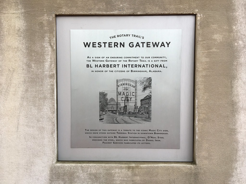
Birmingham built a mile-long linear park directly beneath an elevated interstate, and it works. That’s the part that surprises people who haven’t walked the Rotary Trail yet — that something genuinely pleasant could exist in the shadow of I-20/59, threading between Linn Park and the Protective Life Plaza area toward the Southside neighborhoods beyond First Avenue South.
The trail opened in 2014 after years of planning and roughly $5 million in public and private investment. What was a weedy, underused stretch of right-of-way under the highway viaduct became a ten-foot-wide paved path with lighting, landscaping, public art, and enough clearance overhead that it doesn’t feel oppressive. On a wet Tuesday in February, it’s one of the few places downtown where you can walk without an umbrella and not be soaked. The concrete deck above keeps the rain off. That’s not a minor thing in a city that gets sixty inches of rain a year.
Start from the northern end near City Hall and Linn Park and walk south. The trail passes under the highway in stages, emerging briefly into daylight before ducking back under. The art installations along the route are worth slowing down for — murals and sculptural elements commissioned specifically for the space, not afterthoughts. Birmingham artist work is well represented. Some of the panels track the city’s industrial history. Others are more abstract. None of it feels forced.
By midday on a weekday, you’ll see a mix of office workers cutting through on lunch breaks, the occasional cyclist (the trail is shared-use), and people from the nearby apartment buildings who treat it as a daily commute route. On Saturday mornings it gets more recreational foot traffic, families included. It connects to the broader Birmingham urban trail network, so it’s genuinely useful rather than just decorative.
The south end deposits you near Second Avenue South and the edge of the Southside neighborhood, within easy walking distance of several restaurants and bars. Coming from that direction heading north, it offers a surprisingly efficient and covered approach toward the downtown core, which matters if you’re parking on Southside and heading to a show or a game at Protective Stadium.
The trail is free and open daily. There are benches placed at intervals, decent lighting after dark (which matters given downtown Birmingham’s uneven pedestrian infrastructure after hours), and the surface is smooth enough for strollers and road bikes. Dogs are common. It doesn’t get crowded enough to be a problem.
What it isn’t: a nature trail, a destination in the traditional sense, or particularly long. You’ll cover it in fifteen to twenty minutes at a relaxed pace. But as a piece of urban infrastructure that improves daily life in a concrete, low-drama way, it represents something Birmingham doesn’t always get credit for: the capacity to take an unglamorous problem — dead space under a highway — and turn it into something functional and decent. Worth knowing about if you spend any real time downtown.