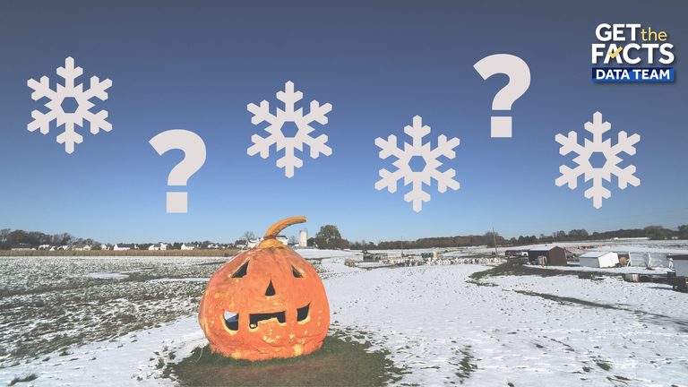
Autumn is already settling across the United States, and many wonder when the first snow will arrive in their hometowns. A new interactive tool, created by the Get the Facts Data Team, lets residents enter their ZIP code to see the earliest first snowfall ever recorded in their area.
How the tool works
The map pulls data from the National Oceanic and Atmospheric Administration (NOAA) on the first measurable snowfall of each winter season. Only weather stations with at least 50 consecutive years of data ending in 2025 are included, ensuring a reliable historical baseline. Any observations from 2026 are excluded because the season has not yet concluded.
Users simply type their five‑digit ZIP code, and the tool displays the earliest date on record when measurable snow fell at the nearest qualifying station. It also shows the year of that record snowfall, giving a sense of how rare or common early snow can be in a particular region.
Typical first‑snow timing across the country
While the exact date varies widely, the tool’s underlying data reveal clear regional patterns:
- High elevations of the Rocky Mountains often see snow as early as August or September, according to the Farmers’ Almanac.
- Northern Rockies, the Upper Midwest, and northern New England typically experience their first snow in October.
- The Great Lakes region, the Northeast, and higher Appalachian elevations usually receive snow in November.
- The Central Plains, Mid‑Atlantic, and Northwest tend to see snow late November into December.
- The Deep South, Gulf Coast, and many southwestern states may not see snow at all, but when they do it is generally between December and January.
What a strong El Niño means for this winter
Scientists note that a very strong El Niño event is currently developing over the Pacific Ocean. An El Niño occurs when sea‑surface temperatures remain at least 0.5 °C above normal for five consecutive three‑month periods, and it typically peaks during the U.S. winter months.
During an El Niño winter, the northern United States often experiences milder temperatures, which can delay the arrival of snow in many areas. Conversely, the southern states tend to see stormier conditions, with increased chances of rain and even snow in places that rarely experience it.
Because the interactive tool relies on historical records, it does not predict future snowfall dates. However, understanding past extremes can help families plan for winter preparations, especially in regions where early snow can catch communities off guard.
Why early snow matters to families and communities
Early snowfall can impact school schedules, road maintenance, and local businesses that depend on seasonal tourism. Parents who anticipate an early snow can arrange childcare, adjust work commutes, and ensure that homes are winter‑ready. Municipalities can use the historical data to allocate snow‑removal resources more efficiently, protecting both safety and commerce.
By providing a simple, zip‑code‑based lookup, the tool empowers citizens to make informed decisions for their households and neighborhoods, aligning with the values of preparedness and responsible stewardship that strengthen families and communities.
How to use the tool
Visit the Get the Facts Data Team’s website, enter your ZIP code, and view the earliest recorded first snowfall for your area. The interface also offers a map view, allowing you to compare your location with neighboring ZIP codes and see how regional patterns differ.
Whether you live in a high‑altitude mountain town or a coastal city that rarely sees snow, the tool offers a clear picture of historical snowfall extremes and helps you stay ready for whatever winter brings.
Original reporting: 40/29 / KHBS (NW Arkansas) — read the source article.