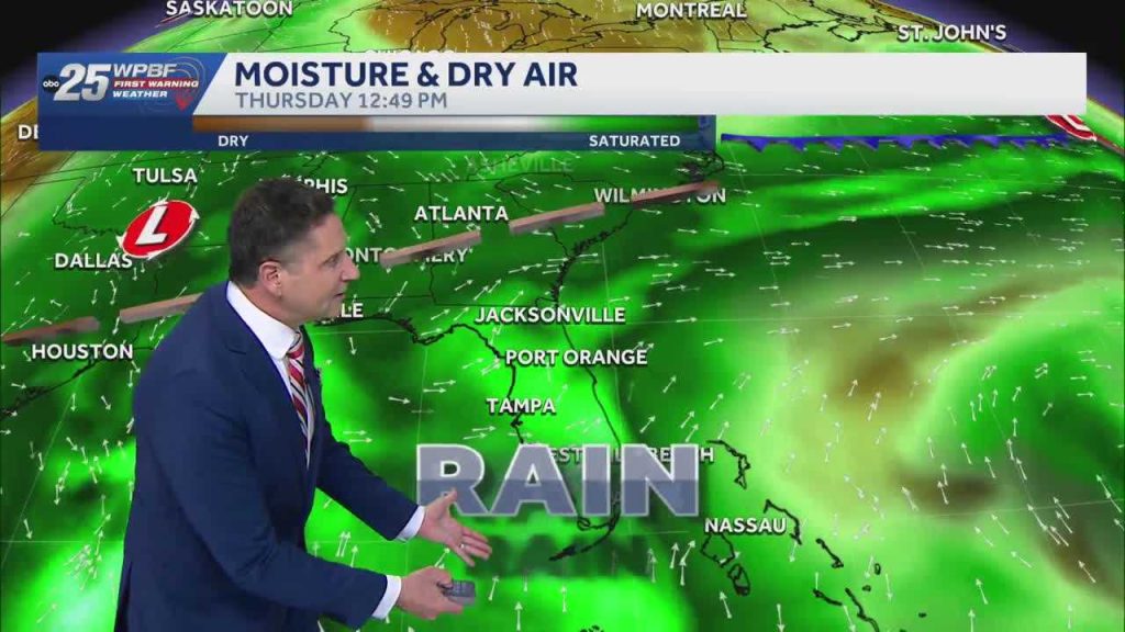
South Florida residents are being advised to prepare for a wet weekend as significant rainfall is expected to begin on Thursday and continue through the weekend. The National Weather Service has indicated that tropical moisture moving up from the Caribbean will bring increased rain chances, with predictions of 4 to 6 inches of rainfall by early next week.
Current Weather Conditions
Currently, the region is experiencing hot and humid conditions, with temperatures reaching the upper 80s to low 90s. The heat index has made it feel closer to 100 degrees in many areas, including West Palm Beach. A breeze has provided some relief, particularly near the coast.
As of now, the skies are mostly clear with only a few showers developing over the Atlantic and moving into areas such as Okeechobee and Broward County. Despite the high humidity, there hasn’t been enough moisture to trigger widespread rainfall yet.
Forecast for the Coming Days
Tuesday is expected to be similar to today, with high temperatures around 90 degrees and a heat index near 100 degrees. Rain chances remain low at about 20%. However, changes are anticipated starting Wednesday as tropical moisture begins to move in.
By Thursday, rain chances will increase to 60%, rising to 70-80% over the weekend. This pattern suggests a rainy few days ahead, with the potential for significant rainfall accumulation. Residents are encouraged to stay informed about weather updates and prepare for possible flooding in low-lying areas.
Temperatures overnight will remain warm, with lows in the upper 70s and low 80s in Palm Beach County, and slightly cooler temperatures along the Treasure Coast and in Okeechobee County.
Original reporting: WPBF (Treasure Coast / Hearst) — read the source article.