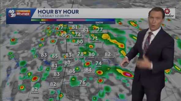
Residents of Northwest Arkansas and the River Valley enjoyed a picture-perfect Memorial Day, but weather changes are on the horizon. Starting Tuesday morning, rain chances will increase, bringing spotty to scattered showers and thunderstorms to the region. While not everyone will experience rain, those who do can expect some lightning, though no severe weather is anticipated.
Weather Forecast for the Week
Tuesday will see temperatures ranging from the upper 70s to mid-80s, with the possibility of showers and thunderstorms developing by mid-morning and lasting into the afternoon. The pattern of spotty showers will continue into Wednesday, with similar temperatures and conditions. While there is a chance of stronger storms, the primary concerns are lightning and gusty winds, with small hail possible.
As the week progresses, cloud cover will increase, and rain chances will persist into the weekend. Thursday is expected to be cooler, with more consistent cloudiness and rain. The 40/29 Get Ready Weather Team, including Chief Meteorologist Darby Bybee and meteorologists Laura Huckabee, Drake Foley, and Cole Makos, will provide updates throughout the week.
For those looking to stay informed, the 7-day forecast for Northwest Arkansas and the River Valley is available, along with interactive radar and live skycams. Residents are encouraged to download the free 40/29 News app to personalize their weather alerts and stay safe during any severe weather events.
Original reporting: 40/29 / KHBS (NW Arkansas) — read the source article.