The San Antonio Fire Department reviewed high-water rescues from 2015 through 2025 and named the 10 spots that cause the most trouble for drivers and first responders, with Seguin Road at Salado Creek leading the pack; SAFD spokesman Joe Arrington warned drivers about underestimating moving water and officials asked locals to prepare for possible storms this week in and around San Antonio.
The department’s decade-long tally shows the same trouble spots keep producing emergency calls, and the counts aren’t small. Seguin Road at Salado Creek recorded 46 rescue responses, and several other crossings and stretches of roadway clocked in with dozens of runs, proving these are recurring hazards that catch people off guard.
“You could be thinking ‘Oh, I’m just going to go. It only looks like an inch of water. I’ll be fine,’” SAFD spokesman Joe Arrington said. “That inch of water could stall your vehicle out, then you’re stuck, and who knows when a wall of water arrives, quickly rising water is coming downstream. So it’s not worth the gamble.”
Arrington also pointed out that the danger isn’t always local rain—water funnels across neighborhoods and can turn a dry-looking crossing deadly in moments. “It doesn’t have to be raining here. It can be raining on the far North Side, but that water has to go through here eventually,” he said in a Tuesday interview, driving home how unpredictable flash flooding can be.
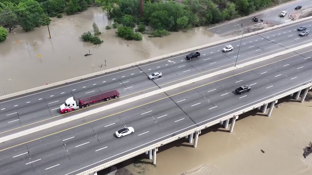
The National Weather Service lays out the hard numbers drivers need to remember: It only takes about six inches of fast-moving water to knock an adult off their feet, according to the National Weather Service. A foot of water can wash away most cars, and two feet is enough for trucks and SUVs, which means even seemingly shallow flows are dangerous to people and vehicles alike.
Here are the spots SAFD flagged as generating the most high-water rescues over the last decade. These locations include low-water crossings and nearby access roads where water funnels and traps vehicles, so treat any standing or flowing water as a real hazard and avoid it when storms are in the forecast.
- Seguin Road at Salado Creek (46 rescues)
- Old O’Connor Road, located north of Lookout Road (31 rescues)
- Hollyhock Road, positioned 600 feet west of Babcock Road (20 rescues)
- Pinn Road, one-quarter mile south of West Commerce (14 rescues)
- Spencer Lane, located east of Balcones Heights (13 rescues)
- Ira Lee, north of Austin Highway (12 rescues)
- Sleepy Hollow at Sunburst (10 rescues)
- Gibbs Sprawl Road at Rosillo Creek (10 rescues)
- West Commerce Street from Pinn Road to Military Drive (9 rescues)
- North Loop, around 150 feet from West North Loop (8 rescues)
The city is urging residents to prepare for flash flooding as multiple storms could move through the area this week, and officials recommend staying tuned to local forecasts and planning alternate routes before heading out. A little route planning now can save a lot of trouble later, especially during heavy downpours when water moves quickly and unpredictably.
If you encounter a flooded road, the safest move is simple: turn around and find another way. Emergency crews are clear that driving into floodwater puts you and first responders at risk, so swap a shortcut for a safe detour and avoid becoming another rescue statistic.
Keep an eye on weather updates and heed warnings when storms arrive, and if you live or commute near any of the listed locations, have a plan to avoid them when heavy rain is expected. The list shows where rescues happened most often, and that pattern is a warning we can use to change our routes and decisions when black clouds roll in.


