The Ute Creek Trail begins less than two miles from Red River’s main strip, yet on a weekday morning in July, a hiker can walk for two hours without seeing another soul. That contrast — resort town noise dissolving into true backcountry silence — is the first reason people who know the trail keep coming back to it.
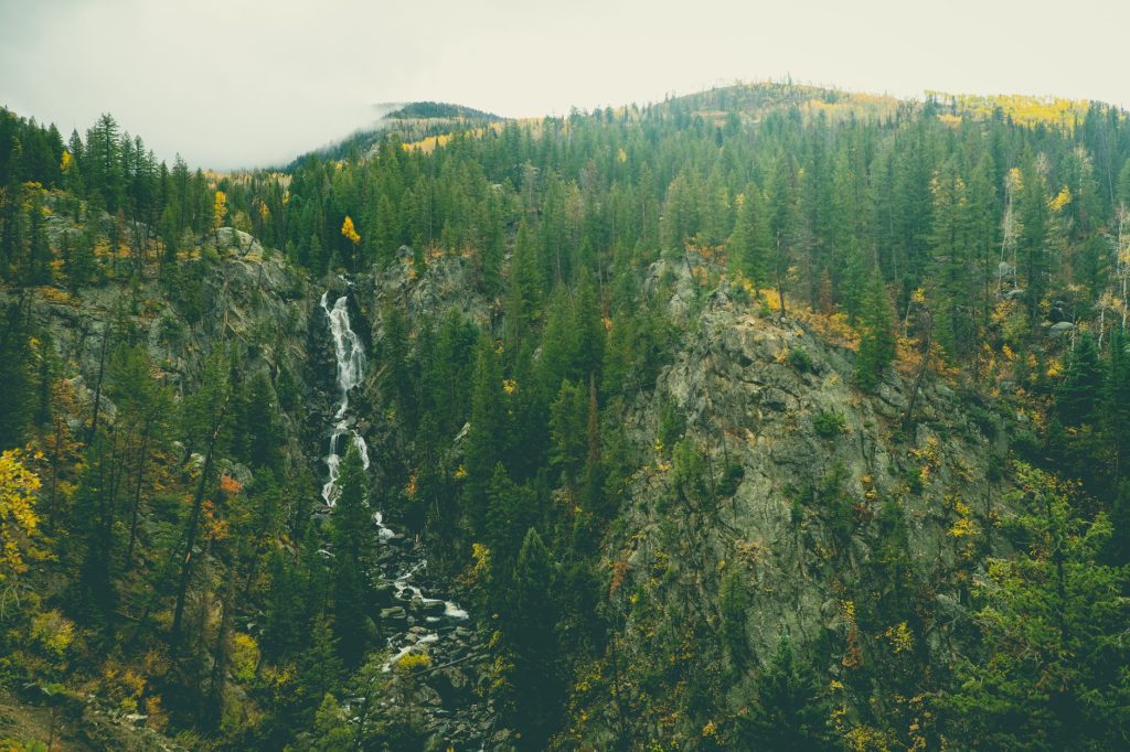
The trailhead sits off NM-578, the paved road that runs north out of town toward Cabresto Lake. A small brown Forest Service sign marks the pullout; nothing about it advertises what lies ahead. From the moment the trail enters the trees, the pitch gets serious. Ute Creek Trail (#485) climbs roughly 2,000 feet over about five miles to reach the Latir Lakes basin, a stretch of alpine meadow and high tundra that sits above 11,500 feet. The creek itself runs alongside the lower section — audible well before it’s visible through the spruce — and in early summer it runs fast and cold off the snowpack.
What separates this trail from better-known routes in the area is the terrain variety. The lower mile moves through dense conifer forest with enough shade to make a midsummer hike feel temperate. Then the trees thin, the trail opens onto exposed ridgeline, and the views back toward Wheeler Peak and the ski area’s empty summer lifts arrive without warning. Around the four-mile mark, the landscape goes full alpine: willows, tundra grasses, the occasional marmot sitting upright on a boulder. It’s the kind of scenery that stops people mid-stride.
The Latir Peaks Wilderness boundary runs through this corridor, which means no motorized use and no mountain bikes. That keeps the foot traffic self-selecting — people on this trail are generally here because they went looking for it. Weekend mornings in August see the most company; otherwise, solitude is the norm.
A few practical notes worth knowing before heading up. The creek crossings in the lower section can be tricky before late June — worn stepping stones go underwater during peak runoff, and wet boots at the trailhead make for a long day. Afternoon thunderstorms build fast above treeline from roughly mid-July through August; anyone planning to reach the lakes basin should be moving back downhill by noon. The trail is not marked with the frequency of a park service route, so a topo map or downloaded GPX track is worth carrying.
No permit or fee is required — it’s national forest land, free and open year-round, though the access road can be rough in winter and snow covers the upper trail well into May. For a full out-and-back to the lakes, budget six to eight hours and around 1,800 calories. Day hikers who just want the creek and the forest can turn around at the two-mile mark and still feel like they earned it.
Red River has no shortage of ways to move through the mountains. Ute Creek is the one that tends to stay with people — not because it’s dramatic in any single moment, but because it keeps changing, keeps climbing, and eventually deposits a person somewhere that feels genuinely far from everything below.