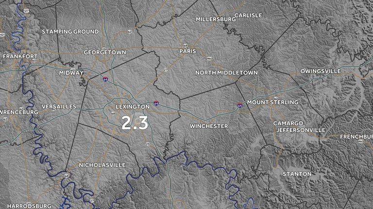
Early Monday morning, the U.S. Geological Survey (USGS) logged a small seismic event just southwest of Lexington, Kentucky. The quake registered a magnitude of 2.3 and originated at an estimated depth of 20 kilometers (about 12 miles) beneath the earth’s surface.
Location and magnitude
The epicenter was located approximately four kilometers (2.5 miles) southwest of downtown Lexington. Earthquakes below magnitude 2.5 are generally classified as minor and are seldom felt by residents, though occasional reports of light shaking can occur.
Geological background
Kentucky sits atop a network of fault lines that run primarily through its western and central regions. While the state experiences occasional low‑magnitude tremors, larger quakes are uncommon. In fact, over the past 50 years of documented research, the USGS has not recorded a quake with an epicenter directly in Lexington.
What residents can expect
Because the quake was low‑magnitude, it is unlikely to cause any damage to homes, businesses, or infrastructure. The USGS advises that such minor events typically do not pose a risk to public safety. Residents who did feel a brief vibration can rest assured that the tremor was harmless.
Monitoring and future outlook
The USGS continues to monitor seismic activity across the region. While Kentucky is not known for major earthquakes, the agency’s network of seismographs ensures that any future events—no matter how small—will be promptly recorded and reported.
Local officials have not issued any advisories or emergency orders related to the quake. The Lexington‑area community can continue its daily activities without interruption.
Original reporting: WLKY Louisville — read the source article.