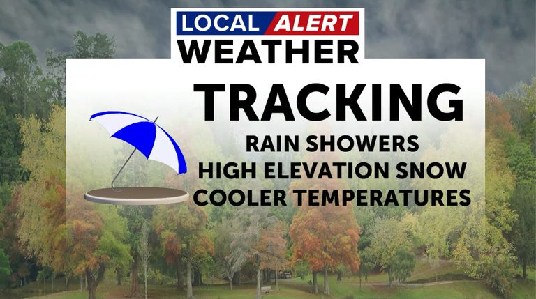
Bend, Oregon – The Local Alert Weather Team warns that a series of upper‑level low‑pressure systems will bring a wet, breezy weekend to Bend and the wider Central Oregon region. No active weather alerts are in effect for Deschutes County as of Saturday morning.
Saturday Forecast
Saturday afternoon will remain mostly cloudy with a high near 50°F and a south wind of 11‑14 mph, gusting up to 25 mph. Rain is likely after 4 a.m. overnight, with lows dropping to around 37°F. Winds will increase Saturday night, reaching gusts of up to 34 mph.
Sunday Outlook
Rain will continue into Sunday morning before partial clearing in the afternoon. Highs will be near 49°F, with breezy south winds gusting to 25 mph. By Sunday night, skies should dry as the snow level lowers to about 4,500 feet, and temperatures dip to a low near 30°F.
Early Week Conditions
Dry, mostly sunny weather returns on Monday with a high near 46°F. Patchy freezing fog may develop early Monday and Tuesday mornings, potentially affecting visibility on morning commutes.
Forecasters expect a “train” of upper‑level low‑pressure systems to bring progressively cooler weather through the week. Highs will hold in the mid‑40s, while overnight lows could fall into the 20s.
Mid‑Week Snow Chances
Snow chances return Tuesday night with a 50% probability after 10 p.m. and lows near 30°F. Wednesday will feature a mix of rain and snow as the snow level rises to around 4,300 feet in the afternoon, with highs near 43°F. Light, scattered rain and snow will continue into Thursday and Friday, with highs in the low‑to‑mid‑40s.
Residents are encouraged to download the Local Alert Weather App for customized alerts and to stay informed about changing conditions.
Original reporting: KTVZ (Central Oregon) — read the source article.