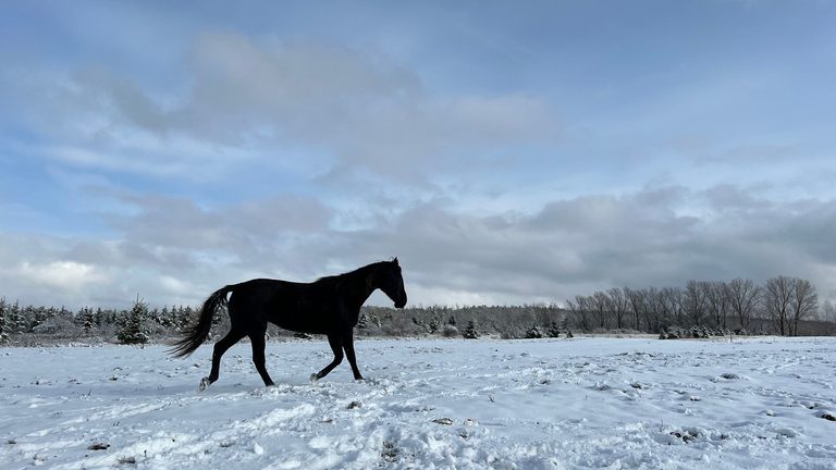
Snow is set to arrive in parts of Northeast Wisconsin this week, but how much will fall and where it will accumulate can differ dramatically from one community to the next. The variation stems from the region’s geography and the influence of the Great Lakes.
How lake‑effect snow forms
When cold air moves over the relatively warm, unfrozen waters of a lake, it picks up heat and moisture. As this air rises and cools, clouds develop and can organize into narrow bands of snow that travel inland with the wind.
Lake‑enhanced snowfall
If a broader weather system is already producing snow, the lakes can add extra heat and moisture, intensifying the snowfall. This phenomenon is known as lake‑enhanced snow.
Lake Michigan and Door County
Lake Michigan is the dominant lake for the Door County peninsula and the Green Bay shoreline. An east or northeast wind can push snow off Lake Michigan toward these lakeshore communities, delivering heavier accumulations.
Lake Superior’s role in northern Wisconsin
To the north, a north wind can draw moisture from Lake Superior, bringing snow into the northern counties of the state.
Other local water bodies
The Bay of Green Bay can locally boost snowfall over portions of Northeast Wisconsin, while Lake Winnebago may add to snow totals when conditions are just right, though its impact is less frequent.
Why snowfall can differ town‑to‑town
Snow bands often travel several miles inland, and even a slight shift in wind direction can change where the heaviest snow piles up. Residents should monitor local forecasts and be prepared for rapid changes in snowfall intensity.
Original reporting: FOX 11 WLUK Green Bay (local) — read the source article.