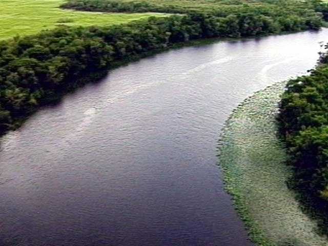
Brevard County is bracing for a significant rise in St. Johns River water levels after recent storms dumped between 12 and 24 inches of rain across the area. County emergency managers say the runoff will travel downstream, affecting communities from Cocoa to Astor within the next 48 hours.
Forecasted River Changes
The latest river forecasts show measurable increases at five key cities along the river corridor. While exact numbers vary, officials stress that the trend is upward and that residents should prepare for higher water than usual. The forecasts are subject to change if additional rain falls, but the current outlook already calls for heightened vigilance.
Impact on Local Roads and Services
Roads near the river are expected to experience flooding, and some sections may become impassable. County officials have already issued several road‑closure notices and are coordinating with the Florida Department of Transportation to reroute traffic safely. Power outages have been reported in isolated pockets, and crews are on standby to restore service as quickly as possible.
Residents in low‑lying areas are being urged to monitor local alerts and consider shelter‑in‑place orders if conditions worsen. The county’s emergency operations center is tracking the situation around the clock and will update the public through the First Warning Weather team’s broadcasts and the WESH 2 News app.
What Residents Should Do
Authorities recommend the following steps to stay safe:
- Keep a battery‑powered radio or smartphone app handy for real‑time alerts.
- Avoid driving through flooded roadways; even shallow water can stall a vehicle.
- Secure valuable items and move furniture away from windows if flooding is possible in your home.
- Follow any shelter‑in‑place directives issued by local officials.
For families with children, schools in the most affected zones may remain closed until conditions improve. Parents should check with their school districts for the latest attendance information.
Community Support
Local churches and community groups have opened shelters for those displaced by rising waters. Volunteers are also assisting with sandbag distribution and checking on elderly neighbors who may need extra help.
The First Warning Weather team, led by Chief Meteorologist Tony Mainolfi, will continue to provide updates throughout the weekend. Residents can watch the live broadcast on WESH 2 or download the station’s app for push notifications.
Looking Ahead
While the immediate concern is the river’s rising level, officials remind citizens that this weather pattern is part of a broader seasonal trend of heavy rain in Central Florida. Continued vigilance and cooperation with emergency services will help mitigate damage and keep families safe.
Original reporting: WESH Orlando — read the source article.